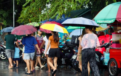
MANILA – The Intertropical Convergence Zone (ITCZ) will continue to bring scattered rains and thunderstorms across Mindanao and the Visayas, the weather bureau said Sunday.
In its 4 a.m. advisory, the Philippine Atmospheric, Geophysical and Astronomical Services Administration (PAGASA) said cloudy skies with scattered rains and thunderstorms will also be experienced in the Visayas, Zamboanga Peninsula, Northern Mindanao, Caraga, Davao Region, Mimaropa, and the provinces of Albay, Sorsogon, and Masbate.
The rest of Mindanao will have partly cloudy to cloudy skies with isolated rain showers or thunderstorms.
PAGASA said flash floods or landslides may occur due to moderate to heavy rains.
Metro Manila and the rest of Luzon will have partly cloudy to cloudy skies with isolated rain showers or thunderstorms.
Extreme northern Luzon will experience moderate to rough coastal waters because of moderate to strong southeast to northeast winds.
Heat index
Meanwhile, the highest heat index could peak at 46°C in Dagupan City, Pangasinan province.
Laoag City in Ilocos Norte, which is hosting the ongoing Palarong Pambansa, and Aparri town, Cagayan are forecast to experience 45°C heat index.
A 44°C heat index is forecast in Bacnotan town, La Union province and Pili, Camarines Sur.
These areas may also experience a 43°C heat index:
Sinait, Ilocos Sur;
Tuguegarao City, Cagayan;
Iba, Zambales; and
Sangley Point, Cavite City in Cavite province.
A 42°C heat index is likely in
Batac, Ilocos Norte;
Baler (Radar), Aurora;
Casiguran, Aurora;
Cubi Point in Subic Bay, Olongapo City;
Ambulong, Tanauan in Batangas province;
Tanay, Rizal;
San Jose, Occidental Mindoro;
Legazpi City, Albay; and
Dumangas town, Iloilo province.
Heat index refers to the temperature the human body feels when relative humidity is factored in with actual air temperature.
Prolonged exposure under “danger” level conditions — from 42°C to 51°C — could result in heat cramps, heat exhaustion, and heat stroke. (PNA)